Well report No. RR-2987 · T17N · R42W · SEC 17 · filed October 10, 2026
Upstream Drilling & ProductionWell report
Drilling approved across three Central California counties
Three Central California counties — Fresno, Merced, and Madera — received new oil drilling approvals, per a regional report. Details await publication in the state well-records database.
Field notes
- Three counties received drilling approvals: Fresno, Merced, and Madera
- Permits typically carry a 12-24 month commencement window before re-permitting is required
- California SB 1137, signed September 2022, imposes a 3,200-foot setback from sensitive receptors on new wells
- The published report does not disclose permit counts, operator names, target depths, or acreage
- Kern County, south of the three named counties, accounts for the bulk of California's onshore output
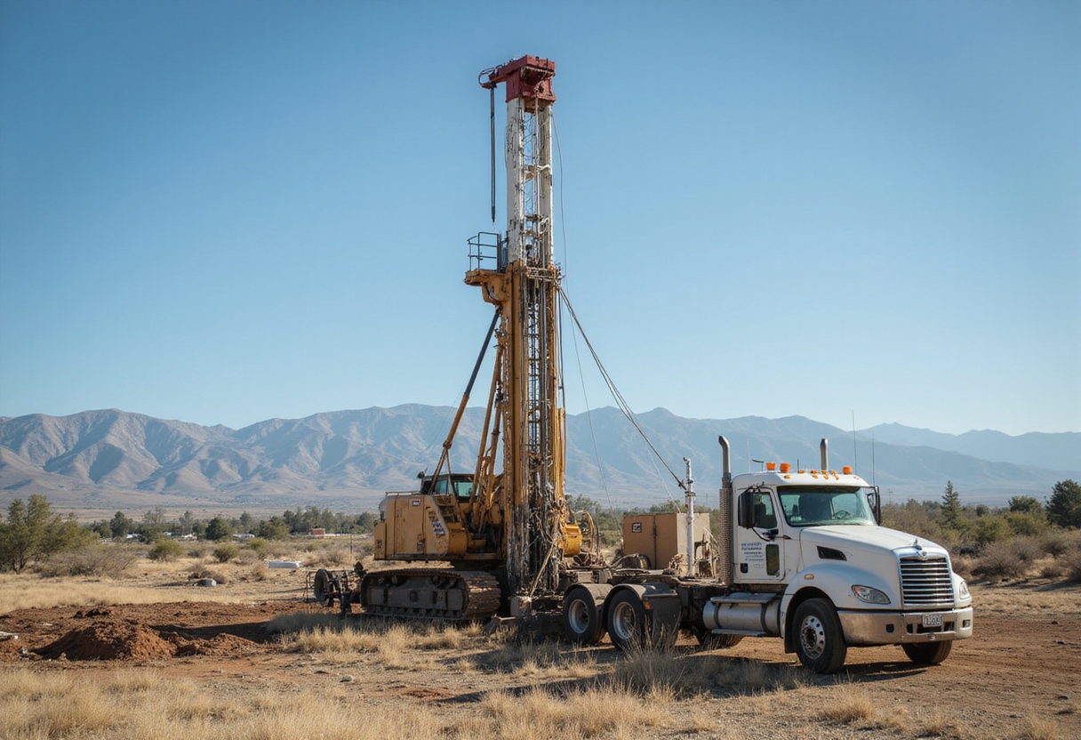
Three Central California counties — Fresno, Merced, and Madera — received new oil drilling approvals, according to YourCentralValley.com.
The approvals cover operations in the northern San Joaquin Basin, where the three counties form a contiguous block south of Stockton and west of the Sierra foothills.
Permit authorizations flow through the California Geologic Energy Management Division (CalGEM), the Department of Conservation branch that succeeded the former Division of Oil, Gas, and Geothermal Resources in 2020 and now operates the state's well-records database.
What does the approval authorize?
A drilling permit converts a lease position or producing-property plan into the legal right to mobilize a rig, set conductor casing, and begin drilling operations. The permit defines maximum true vertical depth, surface hole location, directional limits, and any geologic formations the operator must isolate. Once issued, the operator typically has 12 to 24 months to commence drilling before re-permitting is required through CalGEM's renewal process.
The subsurface authorization runs alongside a county-level surface-use permit, which governs road access, pad construction, noise, and dust mitigation. SB 1137, signed in September 2022, added a third layer: a 3,200-foot setback from sensitive receptors — schools, daycare centers, healthcare facilities, and residential zones — for any new well spudded after the law took effect. Operators drilling within the setback zone face additional permitting hurdles and, in some cases, state-level denial.
Where the wells would land
Kern County concentrates Central Valley production, sitting south of the three counties named in this approval and accounting for the bulk of California's onshore output. Kern's production runs through four large fields — Midway-Sunset, Kern River, Elk Hills, and Lost Hills — that together account for most of the state's onshore barrels.
Fresno, Merced, and Madera hold smaller legacy pools along the Temblor Range and Diablo Range flanks. They include extensions of the Coalinga field, the Coalinga East step-out, and the shallow diatomite plays that drew independent-operator investment in the late 2010s. Production from these counties runs a fraction of Kern's output, but the geology runs continuously — the same Monterey Formation source rocks and Temblor sands produce across the county line.
Operators in the basin have largely shifted from greenfield exploration to in-field development: redrills, sidetracks, and waterflood expansions in mature assets. Most new permit activity in the northern San Joaquin now takes the form of wellbore workovers on existing pads rather than new surface disturbance. That keeps the SB 1137 setback question focused on expansion pads or step-out wells.
Who tracks the permits
CalGEM publishes a weekly well-records update listing new permit numbers, operators, and proposed total depths. County planning offices publish their own surface-use notices on different cadences. The two records together form the public trail for any approved well.
Trade-press reporting on Central Valley activity tends to wait for the CalGEM notice before quantifying an approval. A single "approval" headline can represent one well or several, depending on how the operator batch-filed the application. Without the CalGEM number, the count stays ambiguous.
What's missing from the published report
The regional item identifies the three counties but does not specify the number of approved permits, the operator names, target depths, or acreage. Without those numbers, the operational impact reads as paper activity, not as a rig mobilization. The watch item is the CalGEM permit-record refresh that follows, where each approved well will appear as a new entry in the state's well database.
That database will resolve the open questions: how many wells were approved, in which fields, by which operators, on what acreage, and to what total depth. Until those records publish, the counties named in the approval have moved from permitting queue to approved status, but the rig count has not yet moved.
For now, the trade-press watch item is the state well-records refresh, the county surface-use notices, and any operator disclosure that names the wells, the targets, and the spud schedule.
via Google News: Oil drilling and production (Source)
More from Priya Raman
Show full bio
Senior reporter covering media and advertising at Rig & Refinery.
395 articles